
Celebrating 20 Years in Business!
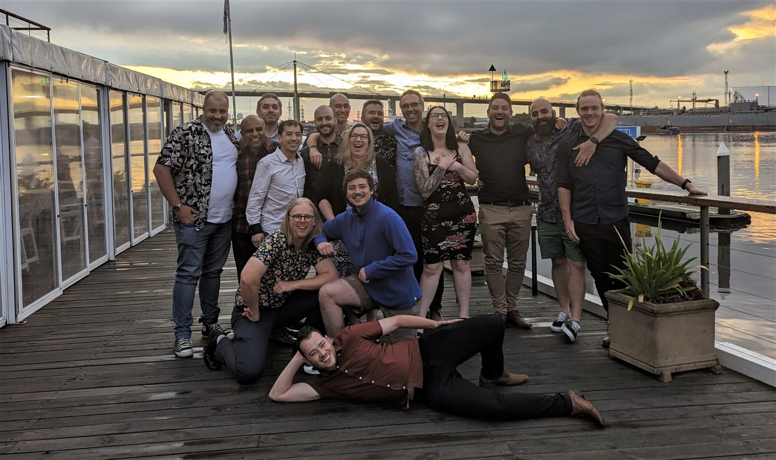
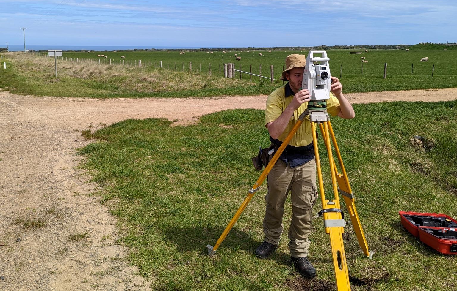
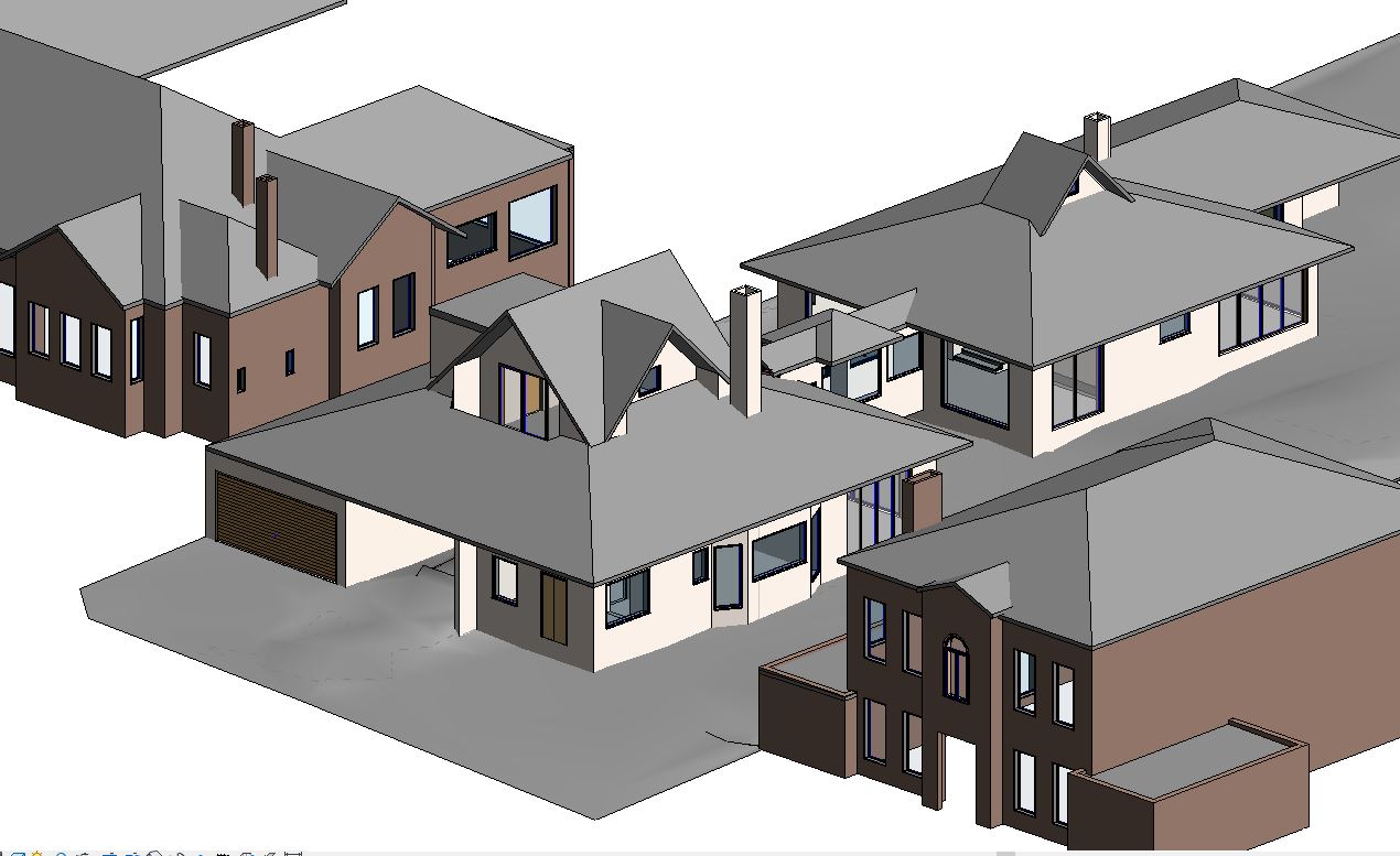
We are proud to celebrate 20 years in business! Since Land Dimensions was founded in 2005, we have built strong relationships, embraced new challenges, and always remained committed to delivering the highest quality service. This milestone is a testament to the hard work of our team and the trust we’ve earned over the years from all our loyal clients. Thank you for being a part of our journey - here’s to the next 20 years!...
08 February, 2025